Quick Summary
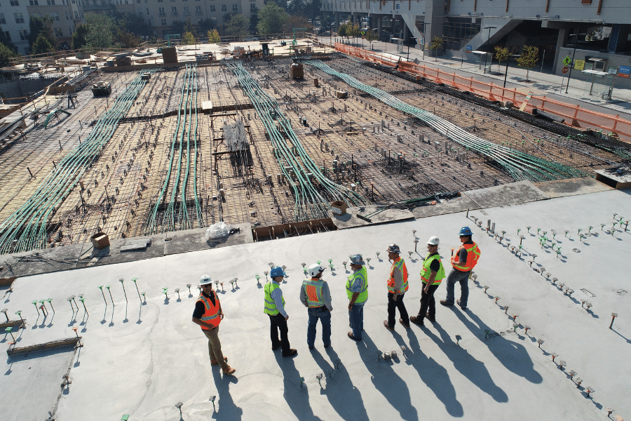
The expansion of broadband internet access is a top priority for the CRTC, which has established a Broadband Fund that allocates $750 million over five years to enhance connectivity in remote areas of Canada. This initiative is driving significant improvements to broadband infrastructure and coverage, highlighting the urgent need for timely reporting on coverage networks.
As part of this project, CRTC’s geospatial data validation process has been significantly expedited. Previously, processing backlogs caused the 2020 data release to be delayed by eight months. However, after implementing Alteryx for automating data transformation and validation, the 2021 data release was completed two months ahead of schedule.
Bronson’s solution employed a diverse array of Alteryx tools, including Analytic Apps, Macros, Geospatial Tools, and Calgary data file types, to streamline processing for large and complex datasets.
Project Overview
Bronson performed an automation of geospatial data processing and quality assurance review for Automated Geospatial Data Processing and Quality Assurance Solutions for Regulatory Agencies
The Challenge
CRTC broadband facilities survey processing requires validation and blending of multiple large and complex geospatial files and data types submitted annually by Internet Service Providers (ISPs) containing details of current coverage areas. The diverse reporting formats used by ISPs resulted in significant manual processing, analysis, and review efforts by CRTC Analysts. This led to growing processing backlogs, which posed challenges for the CRTC in delivering timely reports. Given that the expansion of high-speed internet service has been recognized as a governmental priority, tackling these backlogs emerged as an essential issue to address.
Our Solution and Impact
Bronson implemented Alteryx within the CRTC environment, developing a series of workflows designed to automate the validation of critical Quality Assurance elements in ISP survey submissions. These workflows were tailored to facilitate automated analysis and validation of tabular data, adhering to specific business rules and requirements provided by the CRTC.
For the geospatial data aspect, workflows were constructed to perform automated trend analysis, allowing comparisons between current and historical service areas while ensuring that reported results remained consistent and logical in light of previously established information. Additionally, the workflows automatically flagged invalid geospatial coordinates that could position facilities in waterways or other impractical locations
Multiple workflows were generated to accommodate differences in data formats and file types being provided by ISPs. Workflows automatically identify inconsistencies and irregularities to be subject to further analysis and review by CRTC analysts and ISP representatives. As a direct result of the Alteryx workflows implemented by Bronson, the backlogs in survey processing and validation were entirely resolved.
Learn more about the Alteryx platform and our ongoing partnership.